Multiple states are going to get a proper taste of winter early this week.
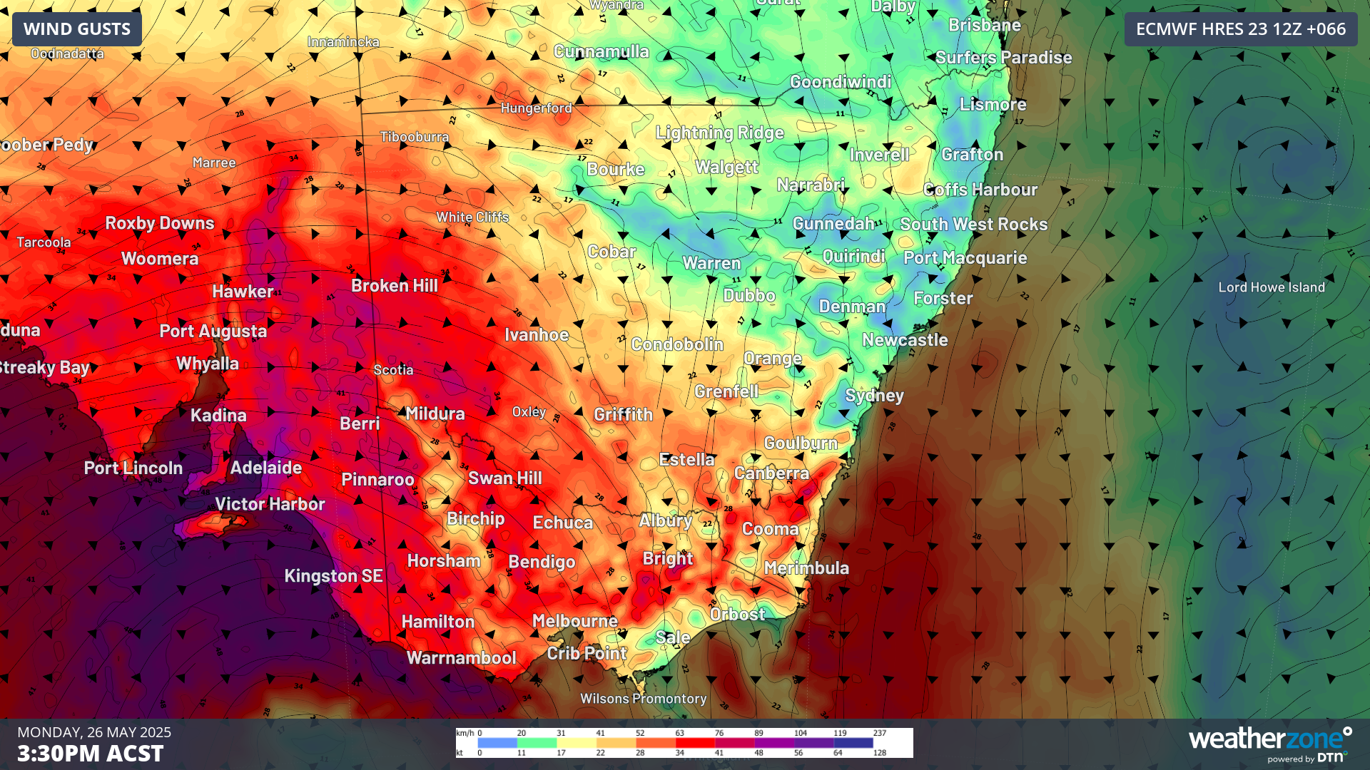
Multiple states are facing wind gusts of up to 125km/h across Australia's south-east, as the "most powerful cold front of the year" moves in.
A video update by the Bureau of Meteorology yesterday said dangerous winds above 90km/h, with damaging gusts reaching the upper 125km/h limit, were expected across southern South Australia, Victoria, the NSW Snowy Mountains, and parts of the ACT.
After winds extended across the South Australia coast yesterday afternoon and evening, they're expected to sweep across Adelaide today, and into Victoria and NSW.
READ MORE: Two charged after shopping centre knife fight
They're set to ease by later today and into Tuesday, but NSW will remain at risk into tomorrow, including in the state's east, where more showers are forecast, including for flood-hit areas.
The Bureau of Meteorology warned that trees were "weak" across south-east Australia after months of dry weather and drought conditions, leaving them vulnerable to strong winds.
Powerlines could also be toppled, interrupting the electricity supply.
And there's a risk of raised dust in lower regions and even blizzards in alpine districts where the cold front is forecast to bring snow.
READ MORE: Diddy's ex-assistant reveals disturbing new claims about depravity
Dangerous coastal conditions are also expected, with waves of up to eight to 10 metres forecast for South Australia, including Adelaide.
Abnormal high tides will besiege Victoria today and tomorrow, potentially triggering coastal damage and beach erosion.
People are urged to stay up to date with weather warnings at the Bureau of Meteorology website.
DOWNLOAD THE 9NEWS APP: Stay across all the latest in breaking news, sport, politics and the weather via our news app and get notifications sent straight to your smartphone. Available on the Apple App Store and Google Play.
 'This hell is heavy': Mum of missing teenager shares heartbreaking update
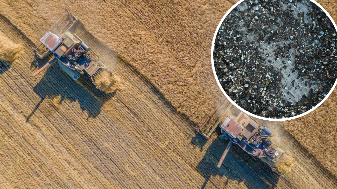 Hidden menace turning farmland into 'plastic sink'
 'Intoxicated' man breaks historic dynasty's throne in Vietnam
 Premier's extraordinary ban after shopping centre brawl
 Bodies of five skiers found on Swiss glacier
 Aldi outdoor heater recalled over potential risk of serious injury
 'Hell on earth': Overwhelming Aussie support for more help in Gaza
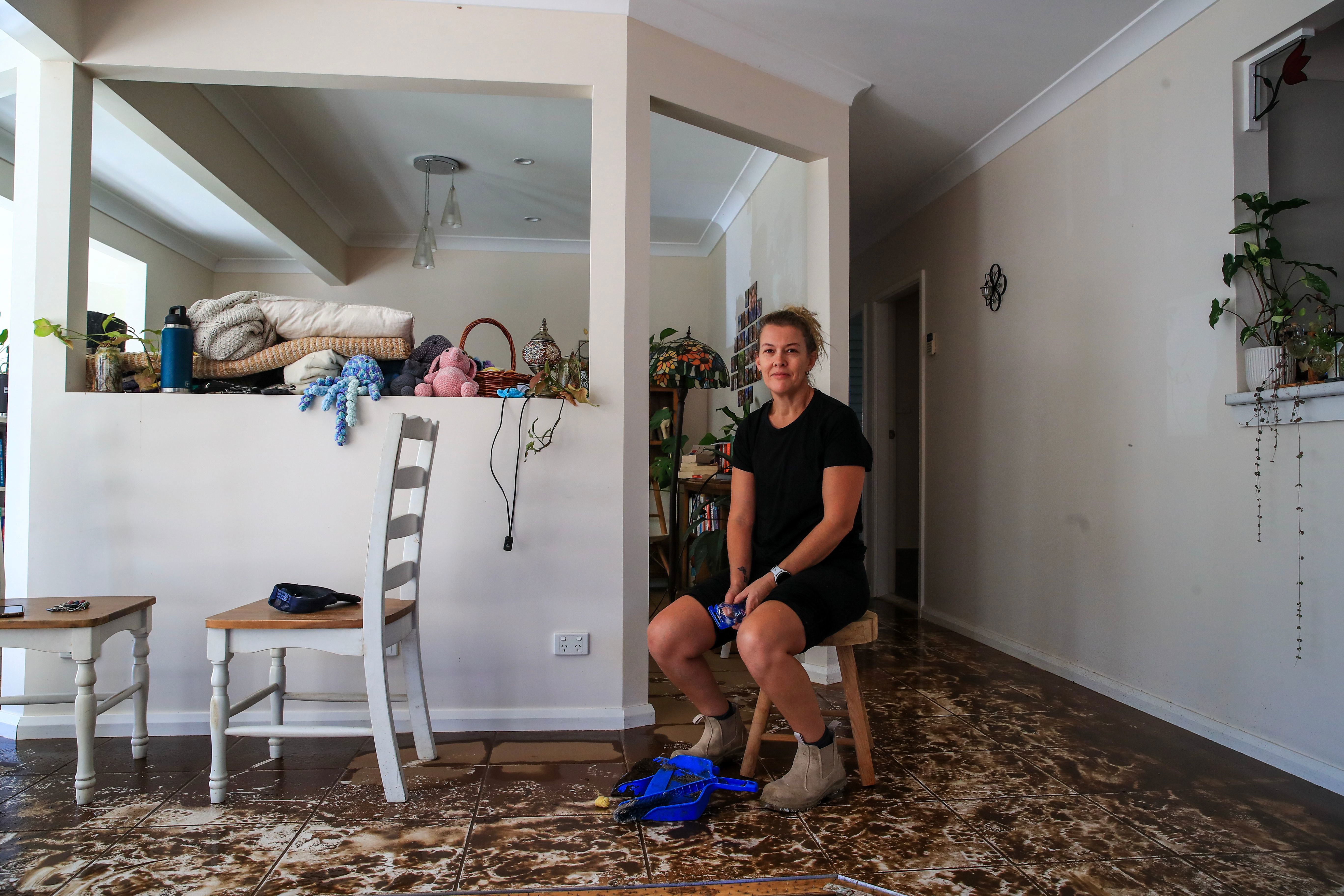 Locals return to clean out homes, shops all but swallowed by floods
 One phone call landed Nikola with a $36k debt. She didn't find out for years
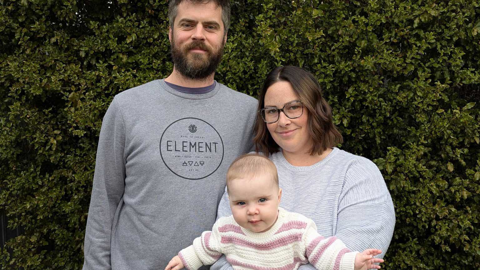
 Oscar's mum says his life was saved by a service many don't know exists
 Family's search for answers after missing dad found dead in field
 Think property prices are about to balloon after rate cut? It's complicated
 Nine of a doctor's 10 children killed in Gaza strike
 Three arrested as dictator rages over disastrous warship launch
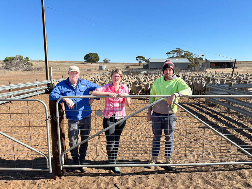 'There's never been a drought like this': Farmers plead for help in South Australia
 Victorian dad labelled 'an Aussie hero' for thwarting attempted robbery