By next week, the scorching conditions will feel like a distant memory for millions of people as autumnal weather takes hold.
The mini heatwave in south-eastern Australia over the coming days will be short and sharp, and the message from weather forecasters is make the most of it.
Temperatures will nudge 40 degrees in Adelaide, Melbourne and Sydney from today until Sunday as warm, dry north-easterly winds blanket multiple states and territories.
But the millions of people impacted should enjoy the blast of summer-like conditions while it lasts because, come Monday, the mercury will plummet, reports Weatherzone.
An advancing cold front will take hold by late Monday, paving the way for the first burst of autumnal weather this year.
Here is how the change in conditions will be felt in your region:
Sydney
On Sunday, some parts of the western suburbs will bask in temperatures of 40 degrees. Spare a thought for NRL players and fans as Parramatta host West Tigers, when at the 4.05pm kick-off, the mercury is forecast to hit 37 degrees.
The encounter will likely feature additional drinks breaks to provide heat relief for players.
But by Tuesday, temperatures across Sydney will have fallen to a maximum of 24 degrees.
READ MORE: PM takes swipe at Hollywood star over critical social media post
Melbourne
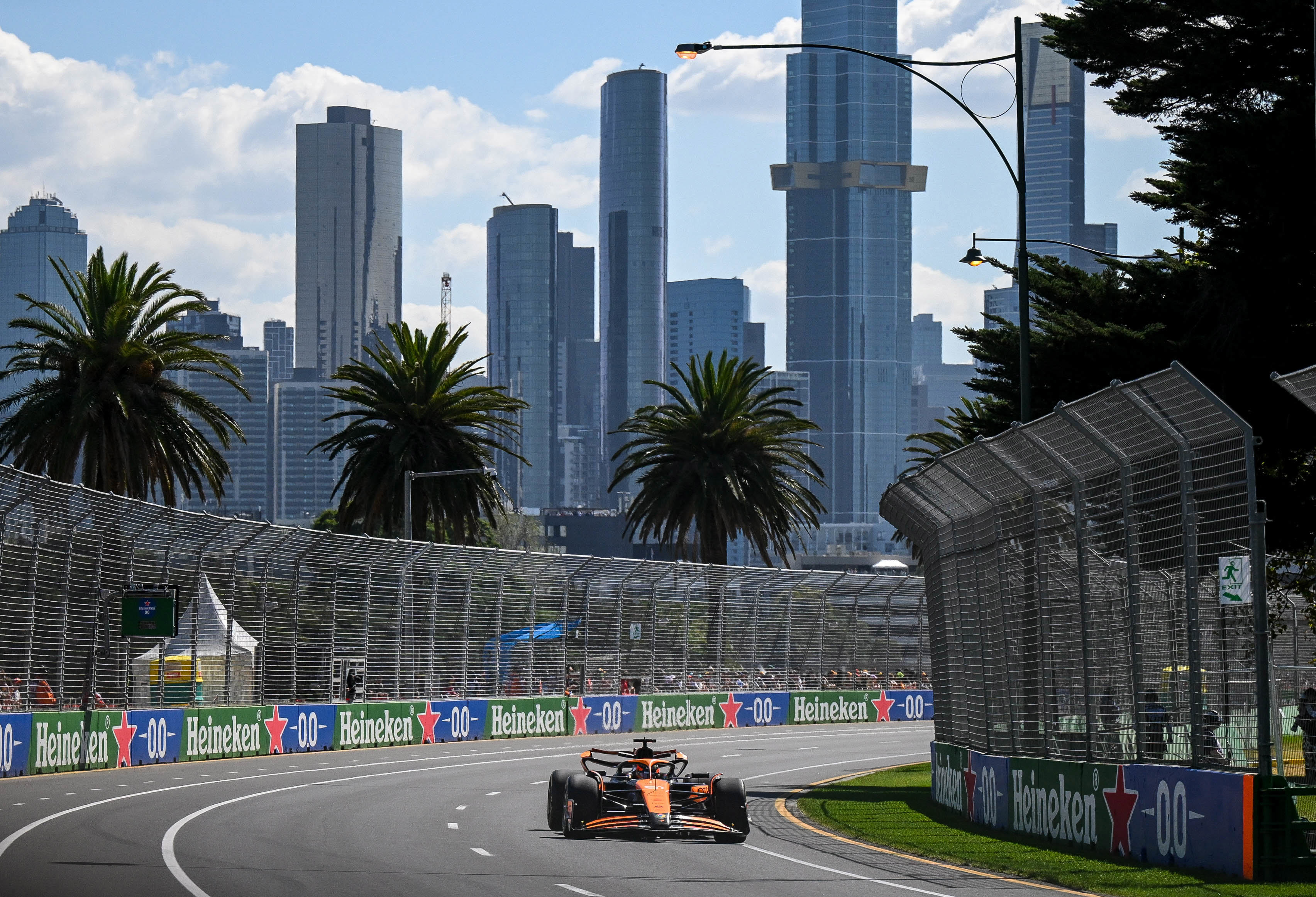
Qualifying sessions for the Australian Grand Prix in Melbourne will take place at 4pm tomorrow when temperatures are forecast to reach their highest at 37 degrees over the city centre street circuit.
Some outer Melbourne suburbs are heading for even hotter conditions, with the mercury peaking at a scorching 39 degrees in Tullamarine.
But Formula One fans can expect much cooler and wetter weather at 3pm on Sunday when the main race begins.
On Monday, residents will be waking to a top temperature of just 17 degrees, the coolest day of the year to date.
READ MORE: Energy bill price hikes: How much extra you'll pay across Australia
Adelaide
The South Australian capital will begin feeling the heat from today before it peaks tomorrow when the maximum temperatures hits a scorching 38 degrees.
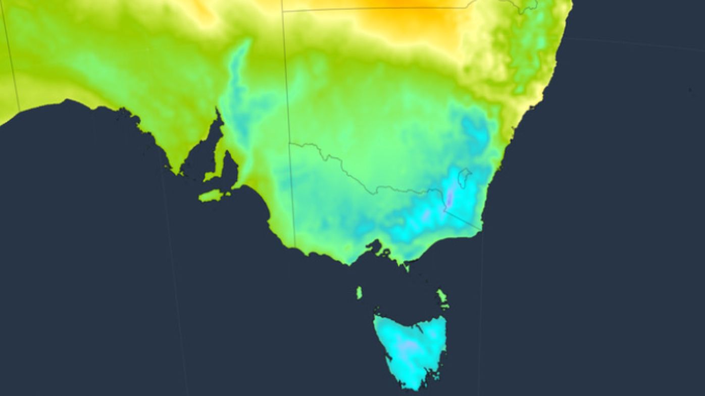
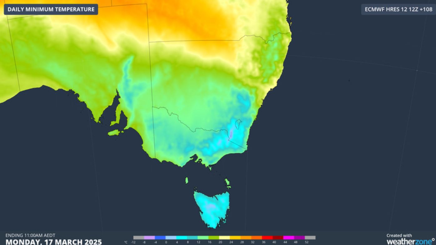
In sharp contrast, the warmest it will get on Monday is just 21 degrees. Unfortunately for farmers hoping for rain, they're forecast to receive falls of 5mm when the cold front rolls in.
Canberra
The national capital is perhaps the city where the change in conditions will be felt most.
Following a top temperature of 35 degrees tomorrow, the overnight lows from Monday will plunge to single digits, making for some cold mornings.
From Tuesday, sub-zero temperatures and frost are forecast for the NSW ski fields.
Hobart
Conditions across the Apple Isle will also dramatically change from early next week.
Hobart residents can look forward to a very pleasant maximum of 28 degrees tomorrow before the cold front advances and the mercury nosedives to a top of 17 degrees by Monday.
Snow showers are also heading for parts of Tasmania above 1000m, including Mount Wellington above Hobart.
Seasonal weather change
The approaching chillier weather comes ahead of the March equinox next Thursday night and the end of daylight saving early next month in NSW, Victoria, South Australia, Tasmania, and the ACT.
DOWNLOAD THE 9NEWS APP: Stay across all the latest in breaking news, sport, politics and the weather via our news app and get notifications sent straight to your smartphone. Available on the Apple App Store and Google Play.
 PM to join 'coalition of the willing' call on Ukraine peacekeeping
 Girl, 12, allegedly attacked by older student while others filmed at Sydney school
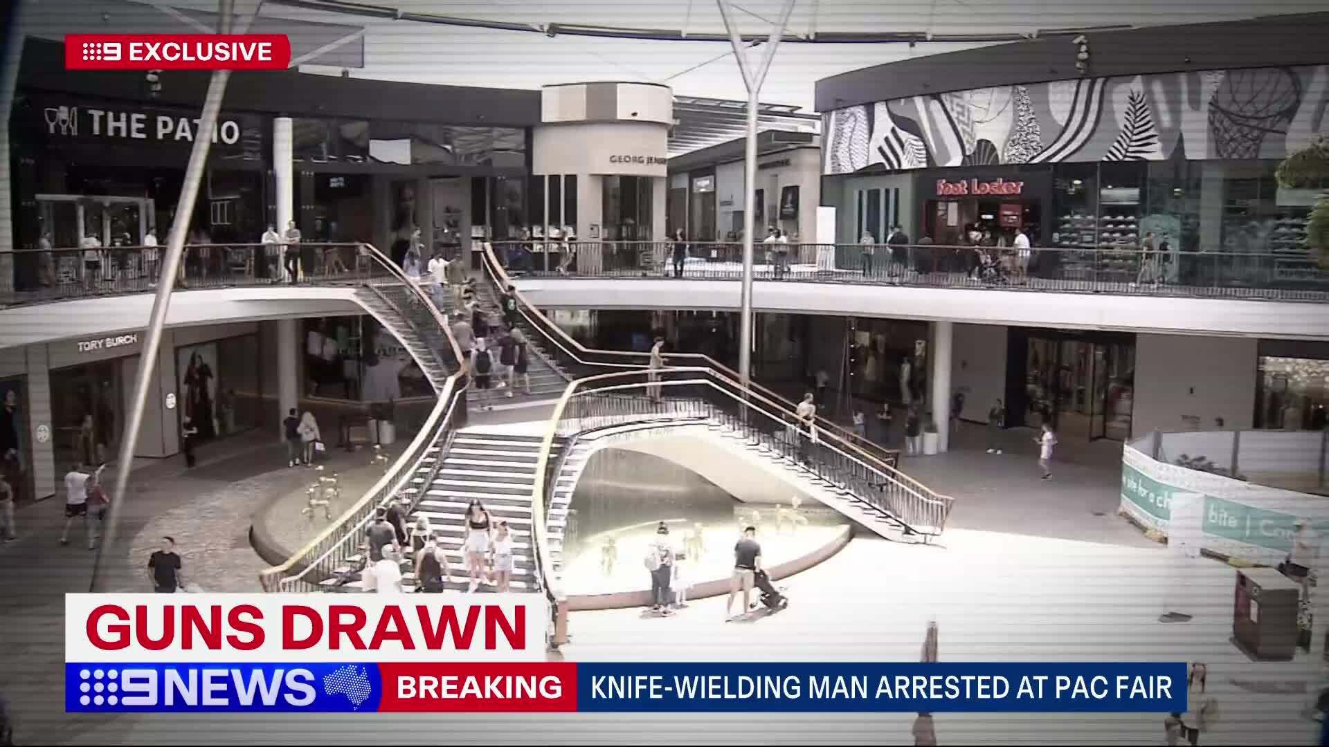 Police arrest alleged knife-weilding man Queensland shopping centre
 Hackman's estate asks court to block release of death investigation records
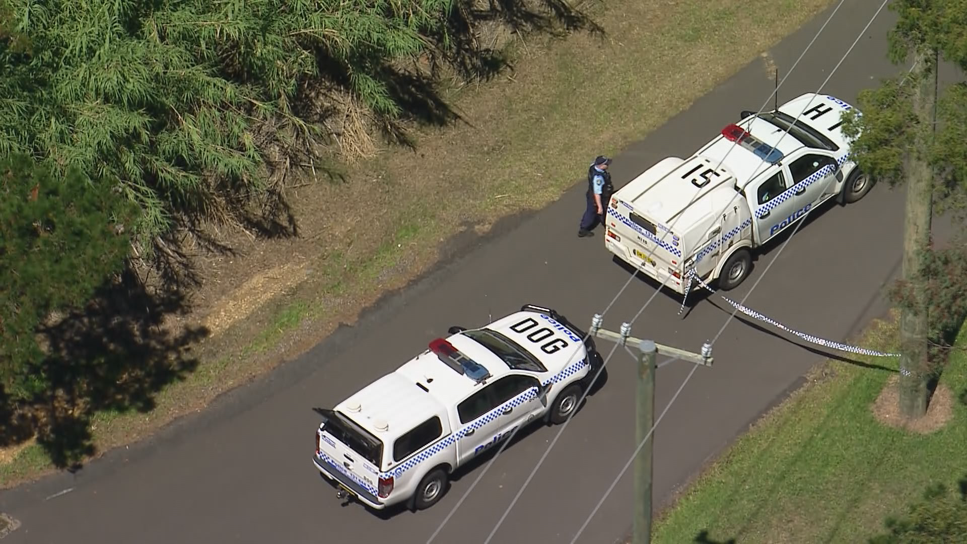 Two men and a woman arrested after human remains found in paddock
 Former Woolworths chief executive lands new role at ticketing company
 Plane catches fire on tarmac at US airport, passengers escape on the wings
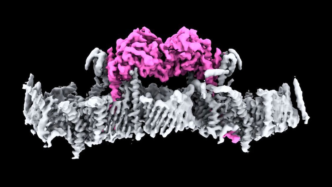 Why this never-before-seen image offers hope to Parkinson's sufferers
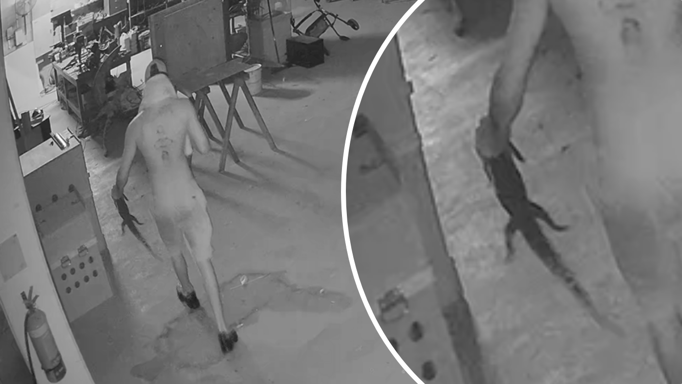 CCTV captures thief grabbing crocodile during crime spree at tourist park
 Australia's youngest murderer out of prison
 Big crowds and dramatic crashes: All the action on day two of the Aussie Grand Prix
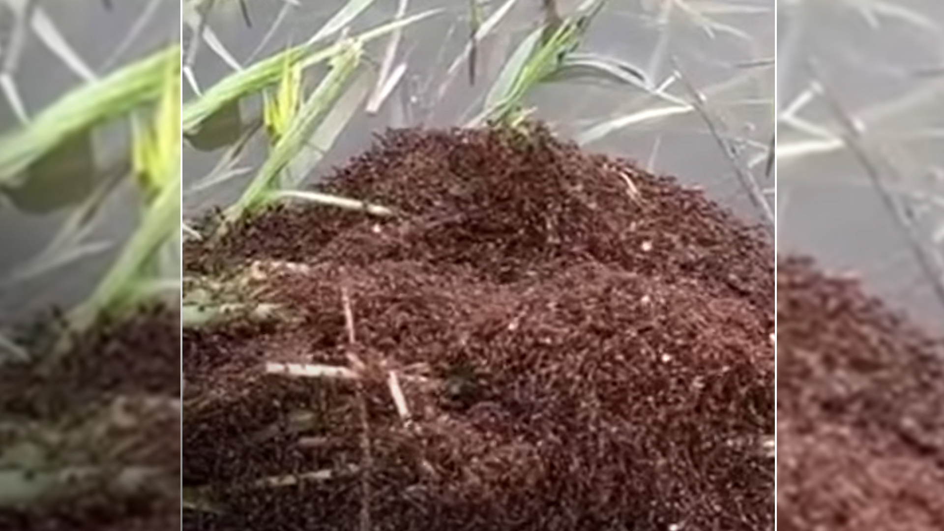 Pest ants' extraordinary survival skill bad news for rest of Australia
 Ukraine loses a ceasefire bargaining chip as its troops cede ground
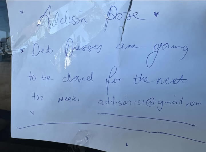 This scrawled note in a Melbourne shop window was the last straw
 US influencer at centre of wombat scandal flees Australia
 Aussie icon named among top 20 destinations of 2025
 Delivery driver punched and kicked during assault inside McDonald's store
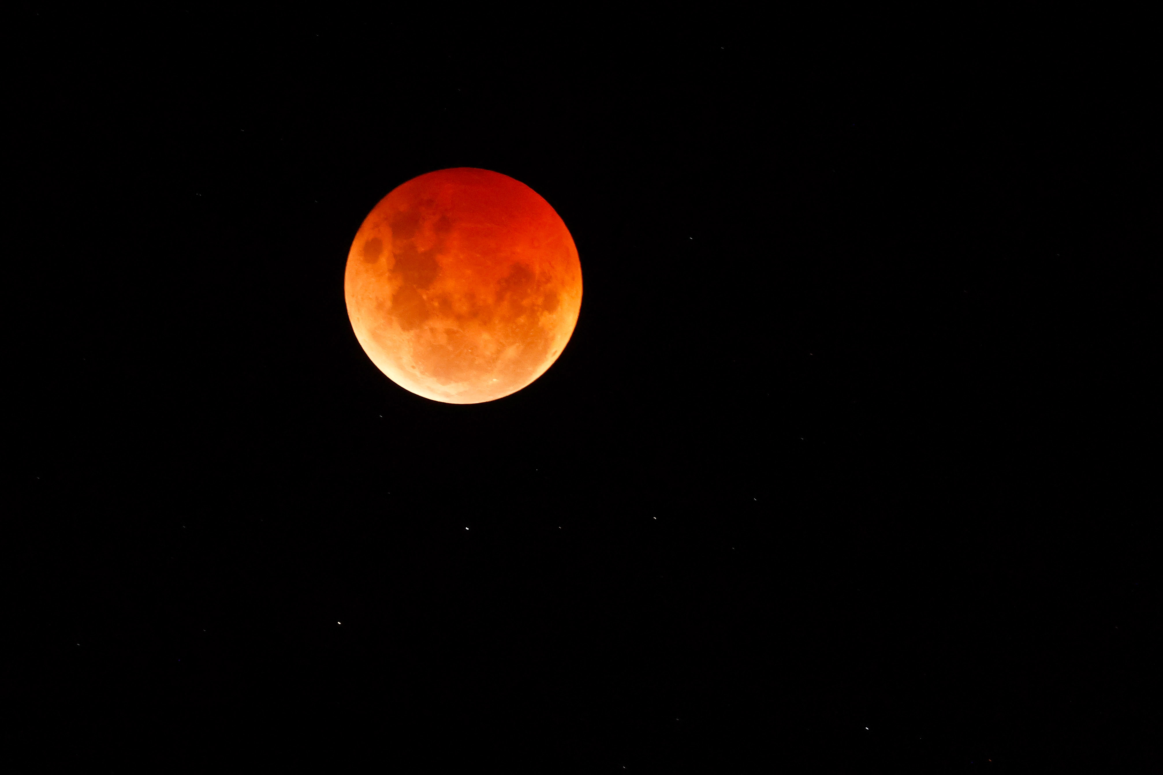 Rare 'blood moon' will be visible from millions of Australian homes tonight
 Decades after massacre, deadly shooting rampage has another victim